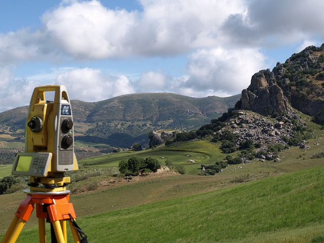
Surveying and Mapping Services
F.E.M.A Elevation Certificate (https://www.fema.gov )
Boundary Survey (Residential,Commercial and Industrial)
ALTA/ACSM Land Title Survey
Topographic & Tree Survey
Radius Survey for (A.L.F., Liquor Store,Day Care, etc.)
Specific Purpose Survey
Legal Description & Sketch (F.P.L. Easement for Corporation)
Right of Way Survey
As-Built Survey
Subdivision Platting
Construction Layout Survey and Staking
Elevation Certificate
An Elevation Certificate is needed to determine at what elevation a building and the surrounding property is at. Typically Flood Insurance Company, Mortgage Company and Developer are who require this report.
Boundary Survey & ALTA/ACSM Land Title Survey
A Boudary Survey or an ALTA/ACSM Land Title Survey requires the documentation of the perimeters, of a parcel or tract of land by measuring of and determining the size and physical location of a parcel of land.

Topographic
A topographic survey is needed for drainage design, road design, parking lot design, and to calculate voluems of earth that need to be moved on a site. Designers of site plans, Subdivision, and utilities use this type of survey.

Right of Way Survey
A survey of a strip or area of land used or proposed to be used for the construction and maintenance, according to designated use, of: public or private way for travel, railroads, drainage or irrigation canals or private R/W.
Subdivisions Platting
Subdivision platting is the division of property into legal lots that conform to the city specifications as provided in the Subdivision Ordinance. The process of platting transform the proposed development into legally recorded map.